
Geophysics
Geophysical surveying is a useful and cost-effective solution for investigating and characterizing subsurface conditions non-destructively. Geotechnology’s five degreed geophysicists (four with advanced degrees) are supported by a variety of geophysical technicians. We’ve acquired extensive knowledge and experience in the application of geophysical methods to enhance environmental, geotechnical, hydrogeological and engineering projects. We use many different geophysical survey methods to help locate, detect, delineate and characterize many natural or man-made subsurface features. A professionally designed, well-executed geophysical survey can reduce project time and costs. The Geotechnology team can:
- Assist in developing the objectives for a study
- Evaluate site conditions and history
- Select optimum methods and design a program to achieve targeted results.
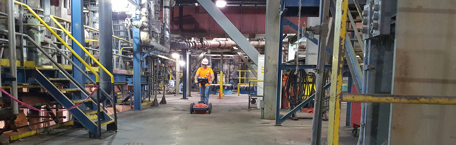
Our geophysicists often perform surveys to provide subsurface information for areas that are between borings, inaccessible to drill rigs or ecologically sensitive. Most geophysical methods have numerous techniques for implementation and interpretation, each of which is appropriate for different types of situations. The team possesses an in-depth knowledge of the various geophysical methods and proficiently determines the appropriate survey based on the attributes of the method, the details of the project, the data that needs to be captured and the end usage. They’re skilled at conducting surveys to acquire the necessary data, whether the location is in a highly urbanized neighborhood, a heavy industrial site, an operational road, or undeveloped land spanning many acres.
Surveys are commonly utilized to help prioritize intrusive subsurface exploration activities, complete Quality Level B Subsurface Utility Locating, and to gather data for seismic site classification. The geophysical services group has successfully partnered with government and private industries and completed an award-winning study for the U.S. Army Corps of Engineers. The geophysicists are experienced in conducting surveys on sites contaminated with toxic and hazardous wastes. They have extensive experience in using personal protective and monitoring equipment necessary to achieve the required levels of protection for hazardous waste sites. All Geotechnology field personnel are currently medically qualified and fully health and safety trained and certified to enter hazardous waste sites up to and including Level “B”.
WE USE GEOPHYSICS TO DETERMINE/IMAGE
Geologic structures
Soil and rock layering
Depth to groundwater
Depth to bedrock
Rippability of bedrock
Bedrock fracture orientation
Fracture contents (clay, water, etc.)
Fault zones
Seismic site class
Seepage pathways beneath dams and levees
Buried tanks and drums
Buried utilities (Subsurface Utility Locating or SUE)
Groundwater flow pathways
Rebar, post-tension cables and conduit in concrete
Soil resistivity for grounding system design
Subsurface vibrations
Underground mines, filled quarries, waste piles and landfills
Voids beneath roadways, structures, pavement and concrete floor slabs
WE USE THE FOLLOWING GEOPHYSICAL SURVEY METHODS
Crosshole seismic
Downhole seismic
Seismic reflection (land and over water)
Seismic refraction (land and over water)
Crosshole seismic tomography
Electromagnetics (EM) and magnetics
Ground penetrating radar (GPR)
GSSI StructureScan®
Electrical resistivity
Induced polarization
Multichannel analysis of surface waves (MASW)
Refraction microtremor (ReMi)
Spontaneous potential (SP)
Acoustic televiewer
Borehole geophysical logging
Radio frequency line locating