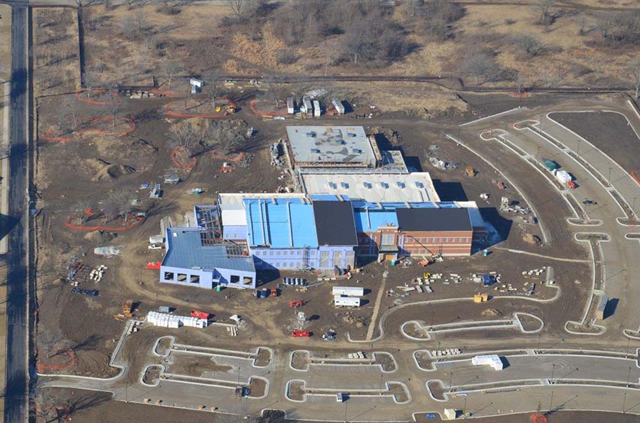
Scott Air Force Base Defense Information Systems Agency (DISA) CONUS Facility
Location: Scott Air Force Base, Illinois
Client: Burns & McDonnell Engineering Company
Services: Geophysics, Geotechnical
Overview:
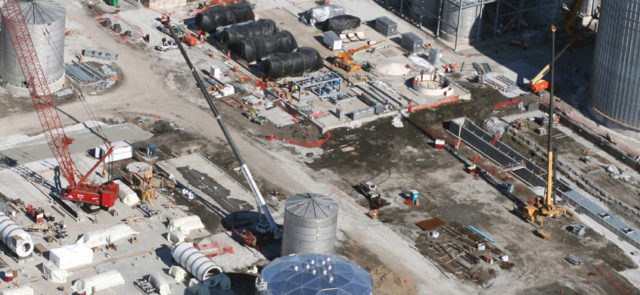
The United States Army Corps of Engineers was tasked with the design and construction of a new facility to house the Continental United States Field Command of the Defense Information Systems Agency (DISA CONUS). Planned construction included an approximately 165,000 square foot structure. It also included a 225,000 square feet of parking lot pavements and entrance roads.
The project site is located at the northwest corner of the intersection of Gunn Avenue and Pryor Drive on the grounds of Scott Air Force Base (SAFB) in Mascoutah, Illinois. The area was formerly occupied by residential and light commercial structures.
Scott Air Force Base DISA Project Background
Geotechnology was brought to the project team by Burns and McDonnell to perform a geotechnical exploration and a geophysical survey. The geotechnical exploration was performed in two phases. Our initial phase included 26 borings across the building footprint and parking areas. Several geotechnical concerns were identified in the first phase exploration. These obstacles included the presence of previously-placed fill, high plasticity clays at the planned subgrade for the building, and potentially liquefiable soils. These issues combined with the planned loading of the new structure led the geotechnical team to recommend a deep foundation system for support of the new facility.
The second exploration involved using Cone Penetration Tests (CPT) to further evaluate the liquefaction potential of the on-site soils. CPT data was collected at nine locations across the site. The results indicated that liquefaction potential of the on-site soils were low. This also provided significant cost savings to the foundation design as the deep foundation elements were able to be designed for a higher capacity.
Geophysical Surveying
The purpose of the geophysical survey was to identify buried waste and uncontrolled fill. We were also tasked with locating old building foundations and utilities in the vicinity of the proposed facility. We performed an electromagnetic survey using a Geonics EM31 terrain conductivity meter. The EM31 was towed using an all-terrain vehicle. Positional data was obtained in real time using a Trimble Pro-XRS differential GPS. In addition, the data was synchronized with the EM data. The EM data and positional data were acquired continuously at the rate of at least five readings per second.
The EM data revealed numerous high conductivity anomalies throughout the site. These were further explored with test pits and vacuum explorations. Many of the EM31 anomalies were found to be related to buried demolition debris ranging in depths between 1/2 foot and 12 feet. Other EM31 anomalies were related to utilities. Two-thirds of the utilities identified were previously unknown based upon existing utility drawings.
This project won the Merit Award for Facility Design by the U.S. Air Force Civil Engineer Center in 2016.