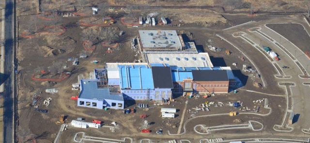
Tyson Valley Research
Location: St. Louis County, Missouri
Client: CDM Federal Programs Corp.
Services: Geophysics
Overview:
This project involved conducting research and a baseline geophysical survey to assist in designing a pilot study for the use of zero valent iron (ZVI) for remediation at the former Tyson Valley Powder Farm (TVPF).
Tyson Valley Research Project Background
The geology in the vicinity of TVPF included a surficial layer of up to 25 feet of soil or residuum. This layer contained interbedded layers of chert and weathered limestone, shale, or sandstone. Additionally, the residuum was underlain by approximately 2 to 25 feet of weathered limestone (epikarst zone). The karst features commonly found were dissolution cavities that were identified as surface and widened fracture/joint sets or faults. The primary source of contamination was possibly from storage containers and drums disposed in two pits within the area. Debris was removed from the pits and the soil was treated with sodium persulfate in 2006.
The geophysical project included borehole geophysical logging, vertical seismic profiling (VSP) and surface seismic refraction surveying. It also required electrical resistivity surveying to characterize the epikarst and shallow unweathered bedrock. A prove out survey using down hole and surface geophysical methods was also conducted at the location of a 100-foot hole drilled specifically for this survey. Geophysical survey methods and acquisition parameters were selected based on the results of the prove out survey.
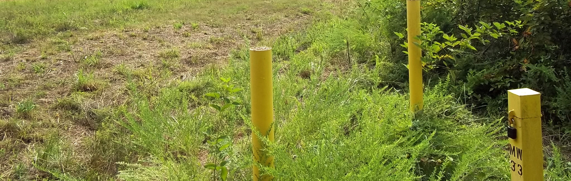
The baseline survey included performing borehole geophysical logging within two monitoring wells, a VSP in one monitoring well, and surface seismic refraction and electrical resistivity over the survey lines within the subject site.
The results of the geophysical survey will be used to help design the ZVI treatment cell (approximately 100 feet by 100 feet in size). This survey will also guide injection points and monitoring wells within the survey area.
Of particular interest were the linear features associated with low resistivity zones on top of competent bedrock. These indicated the locations of fractures or faults within the competent bedrock where the underlying rock was susceptible to continued downward karst solutioning. Geotechnology provided recommendations to perform additional borings in the vicinity of linear features in close proximately to low resistivity zones on top of bedrock.